Rijkswaterstaat
Rijkswaterstaat, the Dutch Ministry of Infrastructure and water management, is working for a Netherlands that is protected from flooding. This is not only about strong dikes and smart flood defenses, but also about raising awareness. The website overstroomik.nl allows users to see how high the water could rise during a flood, based on their address or GPS location, and how to prepare for a possible disaster.
Preparing for a flood
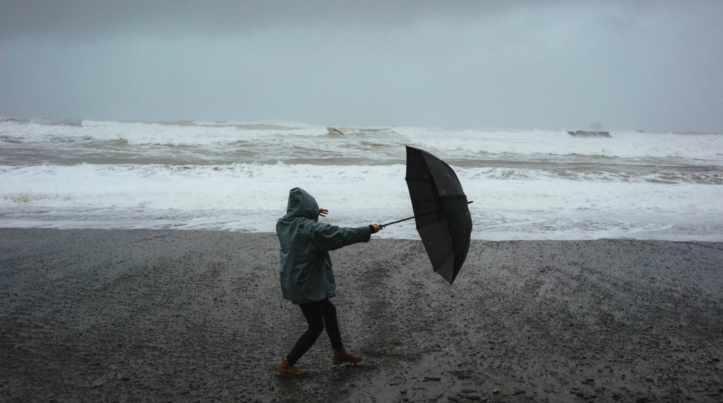
For many people, a possible flood in the Netherlands is an unlikely scenario. A thing of the distant future. But this is an incorrect view, as climate change is increasing the likelihood that any Dutch citizen will have to deal with high water at some point during their lifetime. By working with location-based information, we make the topic personal, and therefore a lot more interesting for the user. After all, many people are curious about how high the water will rise in their own street in the event of a flood.
The impact of a flood
It is important to communicate not only the water level in centimeters, but to also make clear the impact these centimeters have on people’s daily lives. For example, in the event of a flood, there is a good chance that the power and gas will be cut off. Cell phone transmission towers will malfunction, preventing people from contacting others. And so on. We convey this by explaining the situation in a simple way with recognizable pictograms.
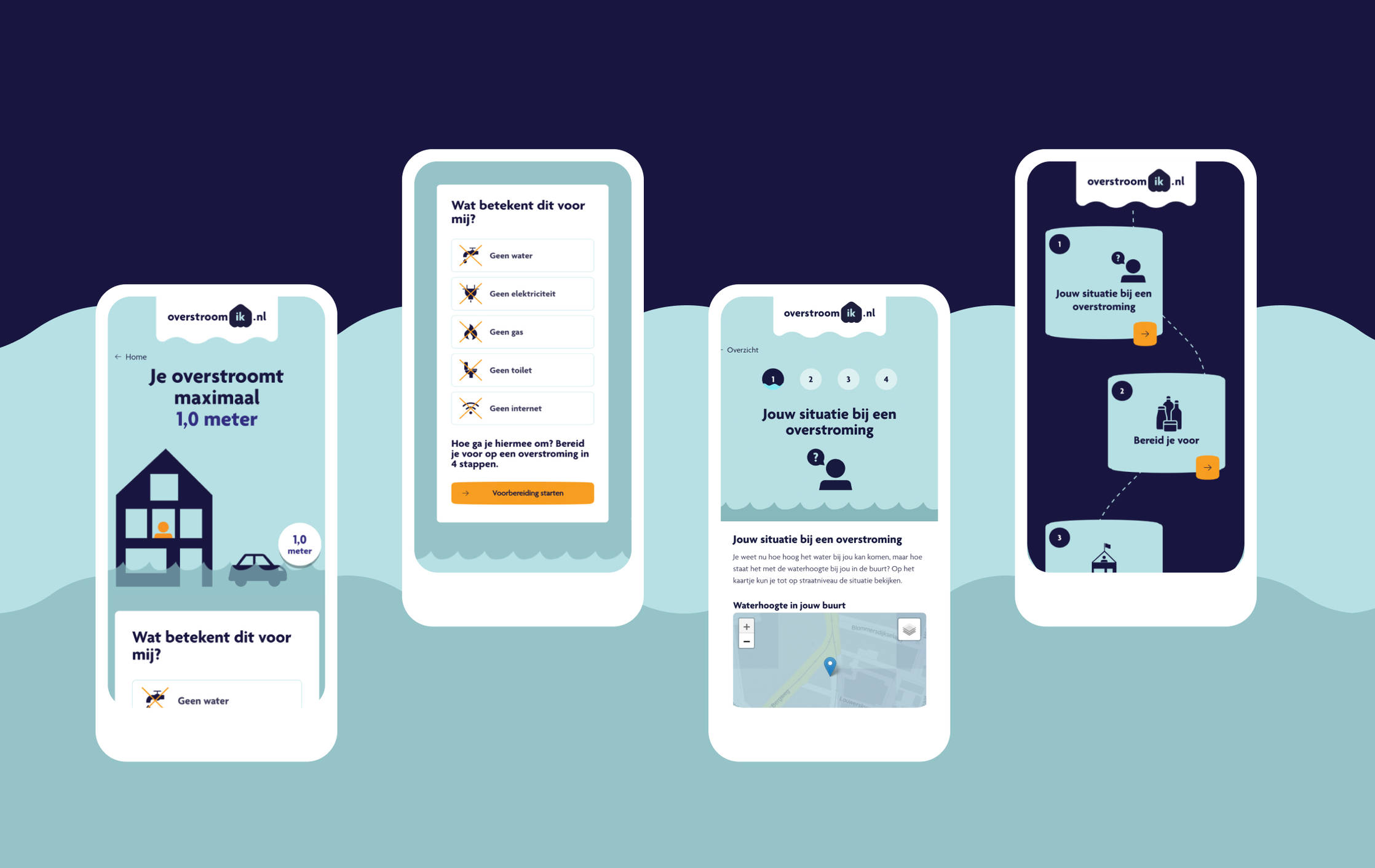
Preparing yourself in 4 steps
For Rijkswaterstaat, it is important that website visitors do not stop at the screen with the water level, but move on to the information about how to prepare for a flood. To encourage this, we present this information as 4 simple steps: clear and manageable. It starts with your situation, how you can best prepare for a flood and what you will need to take into account if you stay at home or if you decide to leave.
Focus on a sleek user flow
During the design process, we continuously looked for solutions that made the user flow even simpler and easier to understand. The design principle of mobile first helped us with this. That the user flow works well was confirmed in a user test where users found their way effortlessly.
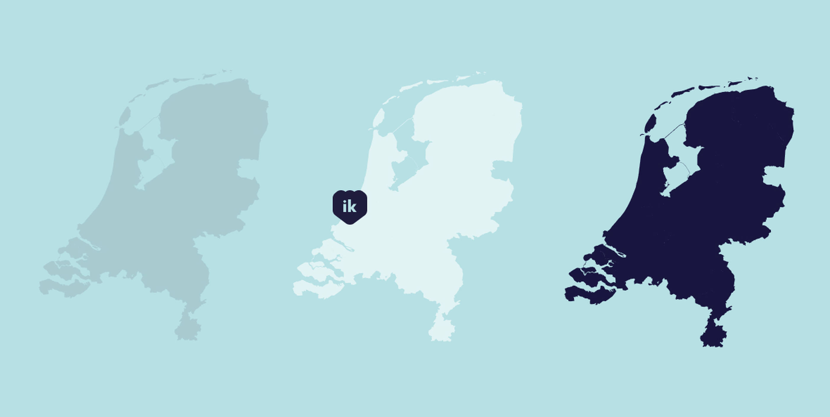
Linking to a central database
For the website, a link was made to the Dutch National Water and Flood Information System (LIWO). This database contains map layers about water and flooding in the Netherlands.
Of course, the website should stay up during an actual disaster, or when there is suddenly a lot of media attention. For this reason, we chose to host on a Cloud Foundry platform in consultation with Rijkswaterstaat. This solution, built on the Kubernetes platform, allows the website to automatically scale up when there is a need for more capacity.
Design and copy
In the project, the design team took the platform's design one step further. We balanced the colors, created new pictograms and developed a new logo.
We wrote the website copy with Rijkswaterstaat. Our role here was to logically group and structure existing content. We simplified the language and made it understandable to a wide audience. We also focused on the UX copy, such as the instructions and buttons.